
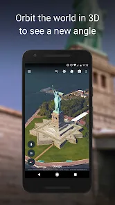
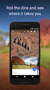
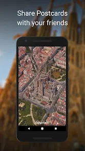
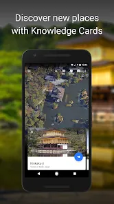
Google Earth is a geospatial mapping application that allows users to explore the world through satellite imagery, 3D terrain, and street-level views. Users can zoom into specific locations, view topographical details, and access information about landmarks, cities, and natural features. The app supports interactive tours, historical imagery, and educational content, making it an ideal tool for learning geography, planning trips, or simply exploring the planet virtually. Available on mobile devices, desktop, and web browsers, Google Earth offers a comprehensive way to experience Earth from anywhere.
Key Features
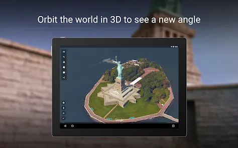
- High-resolution satellite imagery and 3D terrain mapping.
- Street View for exploring cities and landmarks.
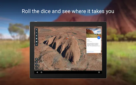
- Interactive tours and guided exploration.
- Historical imagery to view changes over time.
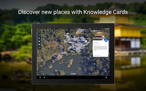
- Search and bookmark locations worldwide.
- Measurement tools for distance and area calculations.
- Integration with Google Maps for enhanced navigation.
Functions
- Explore any location on Earth using satellite imagery and 3D terrain.
- Navigate streets and landmarks with Street View.
- Conduct interactive tours of notable locations and natural wonders.
- Compare historical imagery to observe environmental and urban changes.
- Bookmark and save favorite locations for easy access.
- Measure distances and areas using built-in tools.
- Integrate with Google Maps for route planning and navigation.
Pros
- Extensive and detailed global coverage.
- Interactive 3D and Street View experiences.
- Educational and visually engaging for learning geography.
- Free to use on multiple platforms.
- Supports exploration, trip planning, and virtual tourism.
Cons
- Requires a stable internet connection for high-resolution imagery.
- Can be resource-intensive on older devices.
- Some locations may have outdated imagery.
- Limited real-time data compared to specialized mapping apps.
How to Use Google Earth
- Click the "Check All Versions" button below to download and install the Google Earth app.
- Open the app and use the search bar to enter a location or landmark.
- Zoom in or out to explore terrain, cities, and natural features.
- Switch to Street View for ground-level exploration.
- Create and save bookmarks for favorite locations.
- Use measurement tools to calculate distances or areas.
- Explore interactive tours or compare historical imagery for a deeper understanding.

 0
0